406-381-8931
Image may be subject to copyright
surrounding area

half day or Less hikes in Glacier

Glacier is a hiker's park, and with all the choices available, choosing a hike can be darn near overwhelming.  These hikes are listed roughly in the order of greatest to least so if your hiking time is limited, stick to the top of the list.  Come back in a another year or two to keep working on the list!

Hidden Lake Trail

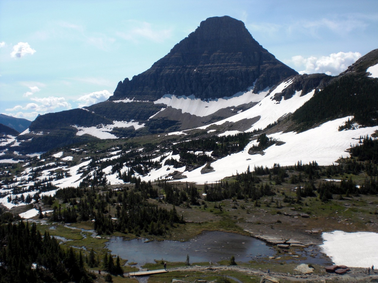
Starting in the high country, this hike offers alpine meadows, amazing mountain views and a high alpine lake
Distance:  3 miles round trip to overlook, 6miles round trip to foot of Hidden Lake, typically 3-4 hours
Elevation Gain: 550 ft
Opens:  late June
Image may be subject to copyright
surrounding area
Since this trail starts at a high point, Logan Pass, it allows easy access to the high country.  When it first opens, typically in late June, the trail is still mostly snow covered and informal skiing takes place.  In July the meadows green up and by early August, the alpine meadows are in full bloom, treating marmots and hikers alike.  

Start out by visiting the restrooms and filling your water bottle at the Logan Pass Visitors Center.  The trail starts just behind the Visitors Center and climbs a boardwalk built to protect the fragile alpine flora.  Look for marmots darting in and out from under the elevated boardwalk.  The first half of the trail is a continuous climb, and if you are a bit out of shape, the incline and the altitude will really make you puff.  Slow down and take your time, you'll be glad you kept at it.

Below:  Hidden Lake Trail in mid July, still lots of snow
Eventually the trail levels out, passing through hanging gardens on its way to the Hidden Lake Lookout.  Keep an eye out for mountain goats and feel fee to hop around on the rocks, but try to stay off the alpine tundra
Eventually, the trail reaches a wooden deck that marks the overlook.  You can turn around here or continue down to the foot of the lake.  At the lake are falls that tumble down toward Avalanche Lake to the west.  Watch your footing, its a long ways down!

Below left:  Hidden Lake with views into the McDonald Valley beyond.  Below right:  Mountain goats at the overlook, with Bearhat Mountain just to the west of Hidden Lake 
surrounding area

Highline (Garden Wall) Trail

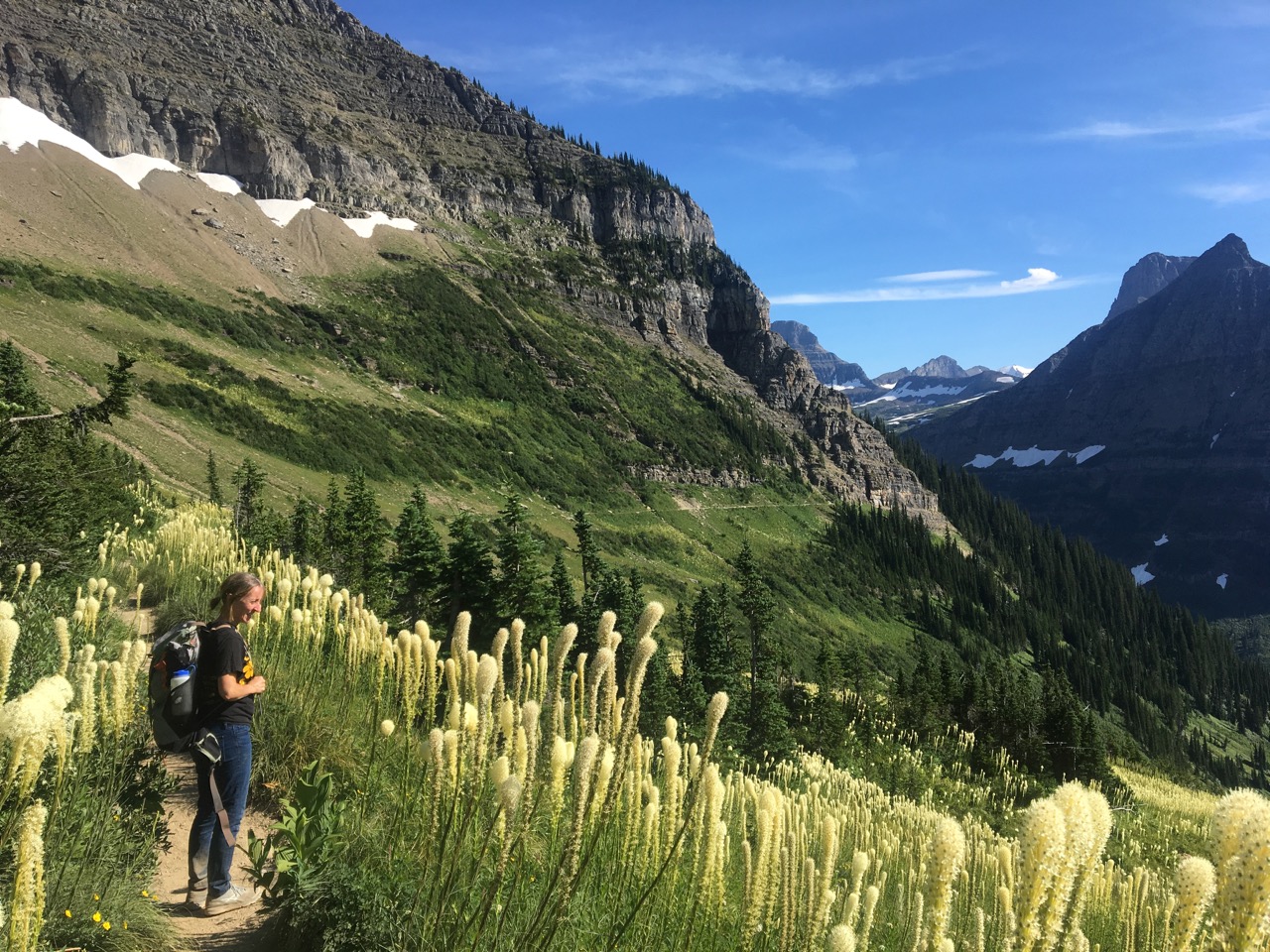
Offering stunning views of the Livingston Range to the West, this trail showcases the cliffs of the Garden Wall, tricking waterfalls, alpine meadows and wildlife
Distance:  To Haystack Butte and back, 6.8 miles, To Granite Park Chalet and Back, 15.2 miles, To the Loop 11.6 miles
Elevation gain: 600 ft
Opens: Early July
The Highline or GardenWall Trail can be hiked as an out and back to any point along the trail or a through hike to the Loop, using the park shuttle to get back to your car.  Try to hit this trail in late July when the bear grass blooms.  Since Logan Pass and the Highline Trail can get a bit crowded at times, consider a late afternoon or early evening stroll along the route.

From the Logan Pass Visitor's Center, cross Going-to-the-Sun Highway to get to the trailhead just north of the Visitor's Center.  After a short walk through a forest of stunted subalpine fir, the trail traverses the cliff of the Garden Wall.  The trail is still fairly wide along the cliff, but you may have to backtrack if a mountain goat, bighorn sheep, or grizzly bear decides to use this section of the trail at the same time.   After the cliff, the trail opens up along a wide slope interrupted by colorful rocks and dainty waterfalls.  Don't forget to look back at the pass for stunning views of Mount Oberlin and Bird Woman Falls.

Below left:  Early section of the trail, carved into a cliff.  Below right:  Goat encounter along the cliff, requiring some backtracking
Go along the trail as far as you have time and keep your eyes open.  Once on the trail we saw a weasel grab a squirrel, another time the grizzly pictured below (see "The Cordial Grizzly" in the wildlife section).  If you are going all the way to the Loop, make sure to check the shuttle schedule so you don't miss the last shuttle.

Below left:  The cordial grizzly. Below right:  Haystack Butte, view from North

Avalanche Lake

Distance:  4 miles round trip to foot of lake, 5.6 miles round trip to head of lake from Going-To-The-Sun Road
Elevation Gain: 500 ft
surrounding area
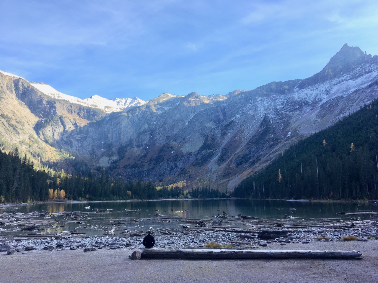
One of the most popular trails in the park, the Avalanche Lake Trail starts at the end of the short Trail of the Cedars walk, skirts a gorge, then ascends to a large glacial cirque containing long waterfalls and the waters of Avalanche Lake.  When parking, grab the first spot you see, as parking spots are limited here.  Start out on the Trail of the Cedars and gaze at the huge old growth cedars that have been growing here for centuries.  At the east end of the Trail of the Cedars Loop, the Avalanche Lake Trail branches off and follows the Avalanche Creek Gorge, where green moss contrasts the red Grinnell argillite water carved rocks.  After the gorge, the trail ascends through a dense cedar, hemlock, larch and fir forest.  Hidden Lake at Logan Pass drains off into a canyon to the left as you ascend.  Once you arrive at the foot of the lake, take in the several waterfalls draining from Sperry Glacier over the head of the ridge.  The trail continues through some swampy areas around the south side of the lake to eventually arrive at the head of the lake.

Below left:  Avalanche Creek Gorge from above
Below right:  View from the head of Avalanche Lake looking west
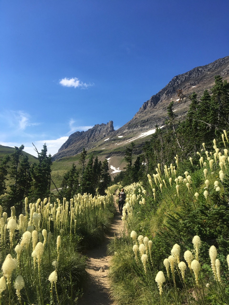
Image may be subject to copyright
surrounding area

Apgar Lookout Trail

Distance:  7.1 miles round trip
Elevation Gain:  1845 ft
Trailhead:  Half a mile or so after entering the park at the West Entrance, turn left on the road leading to the Glacier Institute and Horse Corrals.  Take a right away from the Institute then a left just before the corrals, then proceed another 2 miles to the trailhead.

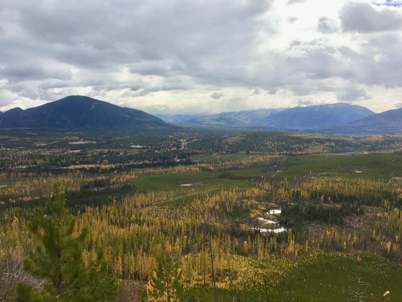
Left:  Open views to the south from the Apgar Lookout Trail
The Apgar Lookout Trail starts in a burned over area south of the mountain where one can observe the prolific reseeding of lodgepole pin after the 2003 Robert Fire.  Some spots literally have dozens of lodgepole saplings per square yard.  The tall survivors of the fire are larches, whose thick bark and deciduous leaves make it fire resistant.  Eventually, the trail starts to climb some broad, gradual switchbacks on the mountain proper.   No creeks are crossed on the switchbacks, so bring full water bottles.   Broad views of the valley and mountains to the south emerge as one arrives at the top of the ridge.  After a short walk at the top of the ridge leads to the fire lookout, and you can climb up to the deck for better views.  Lake McDonald and the tall peaks to its northeast dominate the view.
The Apgar Fire lookout is no longer actively used for wildfire monitoring but is preserved as a historic structure.  The Apgar Range isn't a bunch of discrete mountains, but a more or less continuous ridge running from the Apgar Lookout northwest to Huckleberry Mountain near the Camas entrance.  The trail can be hiked, snowshoed or skied year round, but in the winter the road is only plowed to the horse corral, adding 2 miles each way.  Given the southern exposure of the trail, it opens relatively early in the spring, but can be unpleasantly exposed on a hot summer afternoon.

Below left:  Hiking through the initial section of the trail with a stand of dense lodgepole pine saplings
Below right:  View of Lake McDonald and mountains beyond from north side of Apgar Lookout

McDonald Creek

Distance:  6.8 miles round trip from the trailhead at the head of the lake to Avalanche
Elevation gain:  minimal
Opens:  Can usually be hiked year round.  In 2019 sections may be closed due to downed timber from the Howe Ridge Fire
surrounding area
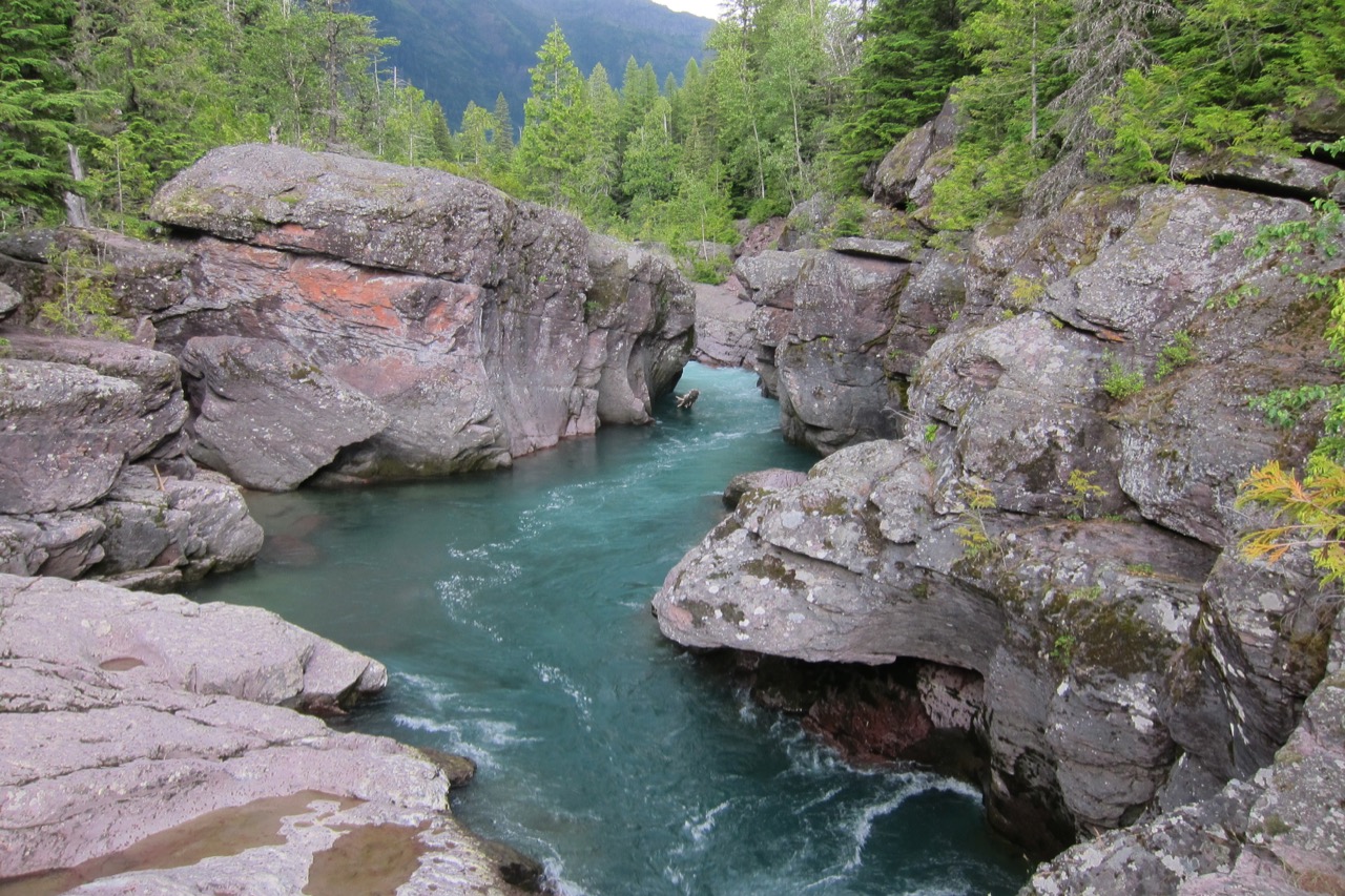
This area was a favored retreat of the Kootenai Indians, who called McDonald Creek the "Sacred Dancing Waters."  A stroll along the creek will quickly demonstrate the reason for this name.  The boulder lined creek holds cold clear fast moving water dotted with small waterfalls.  If boulder hopping, watch your step, folks have drowned after falling into the ice cold water here.  As you head upstream, Stanton Mountain is on your left, Mt. Brown on your right. 

  A bridge across the creek across from the Johns Lake Trail will allow you to cross Going-To-The-Sun Road and loop back through the woods on the east side of the road to the trailhead if you want to make a short loop out of the hike.  Even if you have less than an hour, a stroll along a bit of the trail will be most rewarding.

South Boundary Trail

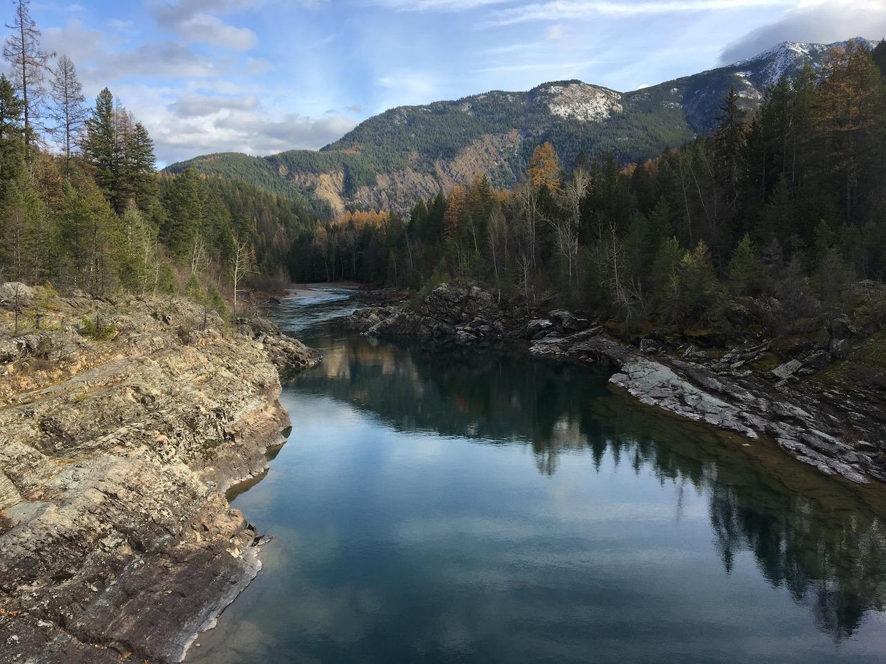
This trail starts at West Glacier and follows the crystal clear waters of the Middle Fork of the Flathead River along the south boundary of the park.  The trail winds up and down along the north side of the river, ending at Coal Creek at about 6 miles.  Most folks hike this trail as an easy stroll out and back as far as they care to go.
The trail can be accessed from the end of Mather Drive at Park Headquarters or by turning onto Old River Bridge Road in West Glacier (by Glacier Rafting Co) and following the road to the end at the old River Bridge, which can still be crossed on foot.
surrounding area
surrounding area

Old Flathead Ranger Station Trail

Distance:  6.8 miles roundtrip to old ranger station site and back, 9.6 miles roundtrip to Glacier Rim and back
Elevation gain:  300 ft
Opens:  Can be hiked or skied all year, however, road to trailhead typically only open April - October
Open to:  Hikers, mountain bikers, horseback riding

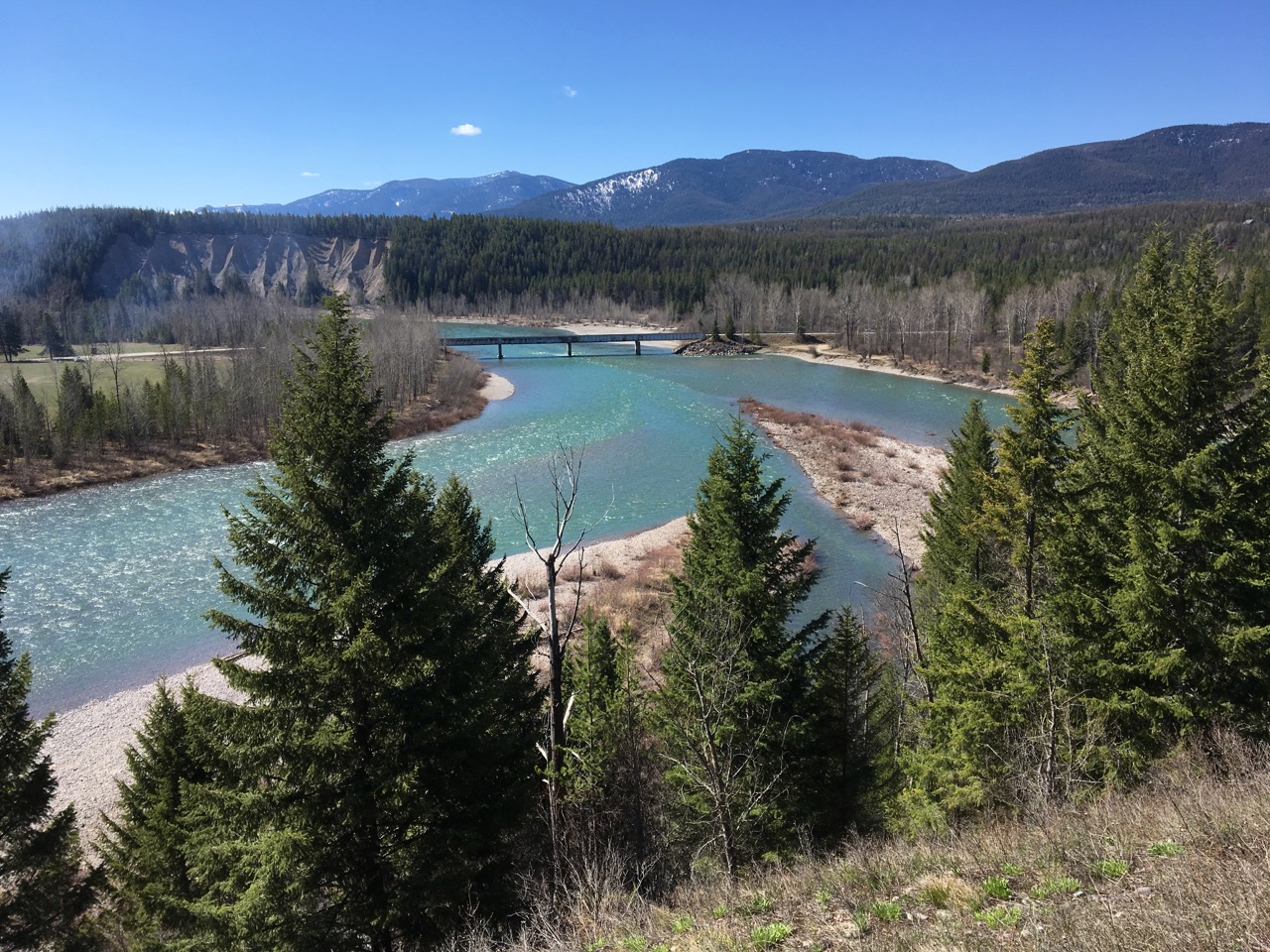
Left:  Overlook at the Old Flathead Ranger Station showing the Middle Fork of the Flathead River on the left and the North Fork coming in from the right.
The Old Flathead Ranger Station Trail skirts along the middle then north fork of the Flathead River in the extreme southwest portion of Glacier National Park.  This is a relatively flat trail with mostly easy hiking in a seldom visited corner of the park that is teeming with wildlife.  Even though it is one of the few backcountry trails in Glacier that allows bicycles, it seems mostly undiscovered by bikers.
The first mile of the trail travels along an old roadbed through young lodgepole pine that reseeded after the 2003 Robert Fire.  Eventually the trail works its way to the cliffs along the north side of the Middle Fork of the Flathead River along some rocky bluffs growing groves of Ponderosa Pine.  At 3.4 miles from the trailhead, the trail arrives at an overlook showing the confluence of the Middle and North Forks of the Flathead River.  Blankenship Bridge (on Blankenship Road) is visible below the confluence.  On either side of the bridge are Flathead National Forest river access sites.  All that remains of the old ranger station are some irises from the old garden growing at the lookout, and a 4 ft deep hole just north of the trail that was an old root cellar below the ranger station building.  Most of the buildings here were razed in the 1960's and remaining portions were destroyed in the 2003 Robert Fire.
After the lookout over the confluence, the trail turns north and arrives at another viewpoint, this one of the North Fork and the surrounding valley.  After another quarter mile, the old road is overtaken by a  stream.  With some careful walking along the edge and jumping in spots, your feet can stay dry, although carrying your bike around the water can be a hassle.  One good thing about swampy areas is being able to track animals, and a grizzly obliged me by leaving a hindprint in the mud just north of the swamp when I hiked here recently.

Below left:  View from the cliffs over the North Fork just north of the confluence.
Below right:  A stream has taken over the old road for a few hundred yards at a point on the trail 1/4 mile north of the confluence.

The next few miles heading north are prime moose and grizzly country;  I followed grizzly tracks for a mile or so on a recent hike.  Some old fire scarred Larches dominate the forest and some surviving large Western White Pines make an appearance also.
Shortly after the trail turns west toward Glacier Rim, an interesting bit of history is encountered.  Early in the 1900's some private property that predated the park was turned into a subdivision with dozens of 0.1 acre lots.  You can still make out straight north-south cuts in the forest where streets were to be laid out, and there is even a small dome cabin on one of the few remaining private lots.
Continue another half mile to the west and the trail ends at Glacier Rim on the North Fork of the Flathead River.  Glacier Rim is a popular river access point in the Glacier View District of Flathead National Forest, about 1 mile north of Moss Mountain Inn on the (outer) North Fork Road.  A bald eagle nest sits on the east side of the river overlooking the clear turquoise waters of the river.

Below left:  Grizzly hindprint on the trail
Below right:  Huge old Western White Pine about 1/2 mile east of Glacier Rim
surrounding area

Covey Meadow Loop

An easy loop hike just outside of Polebridge

Distance: 1.7 miles
Elevation gain: < 50 ft
Opens:  Can be hiked or skied all year.  Trailhead is just above the Polebridge Ranger Station, so can be hiked or skied even if the Inside North Fork Road gate is closed.
Open to:  Hiking
The Covey Meadow Loop is an easy loop trail that can be hiked in 1/2 - 1 hour.  The trail loops east from Inside North Fork Road back to Inside North Fork Road 1/2 mile south, leaving one to hike back 1/2 mile on Inside North Fork Road to complete the loop.  The north trailhead starts directly above the Polebridge Ranger Station and is marked by a sign and a big log with the two space parking lot.  The south trailhead has no parking.
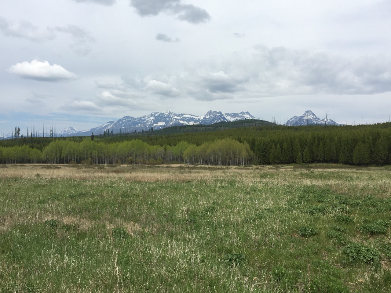
The trail heads east through 20-30 ft tall lodgepole pine that seeded after the 1988 Red Bench Fire.  After about 1/2 mile the trail opens up onto Covey Meadow, a shortgrass prairie with grasses and wildflowers.  Views of the Livingston Range to the east are magnificent and wildlife sightings are frequent, especially around dawn and dusk.
After skirting along the west side of the meadow, the trail turns back to Inside North Fork Road, again through a young lodgepole forest.  A short 1/2 mile hike back on Inside North Fork Road will get you back to your car.

Below left:  Balsamroot flowering in Covey Meadow.
Below right:  Young lodgepole pine forest on the trail to Covey Meadow

Rocky Point Trail

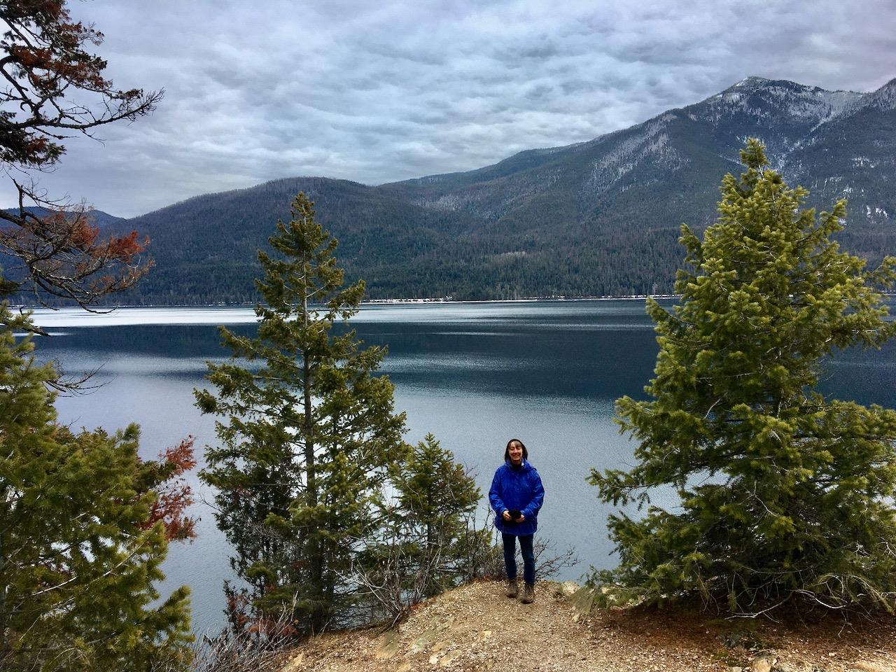
This is an easy but not too crowded trail offering great views of Lake McDonald.  Round trip length is 1.5 miles with about 200 ft. of elevation gain and loss.  The trail may be accessed in a few different ways.  The official trailhead is accessed by turning off Camas Road to Fish Creek Campground.  Head left past the campground entrance onto Inside North Fork Road and look for the trailhead on the right after 1/4 mile.  A parking area is across the road.  Rocky Point may also be accessed by parking in the Fish Creek Picnic area then heading north through the pretty Fish Creek Campground until you see a trail heading off at the north edge of the campground.

Right:  Looking across Lake McDonald from Rocky Point
Below left:  Rocky Point trailhead off Inside North Fork Road, just past the Fish Creek Campground entrance
Below right:  Looking north from Rocky Point
surrounding area
surrounding area

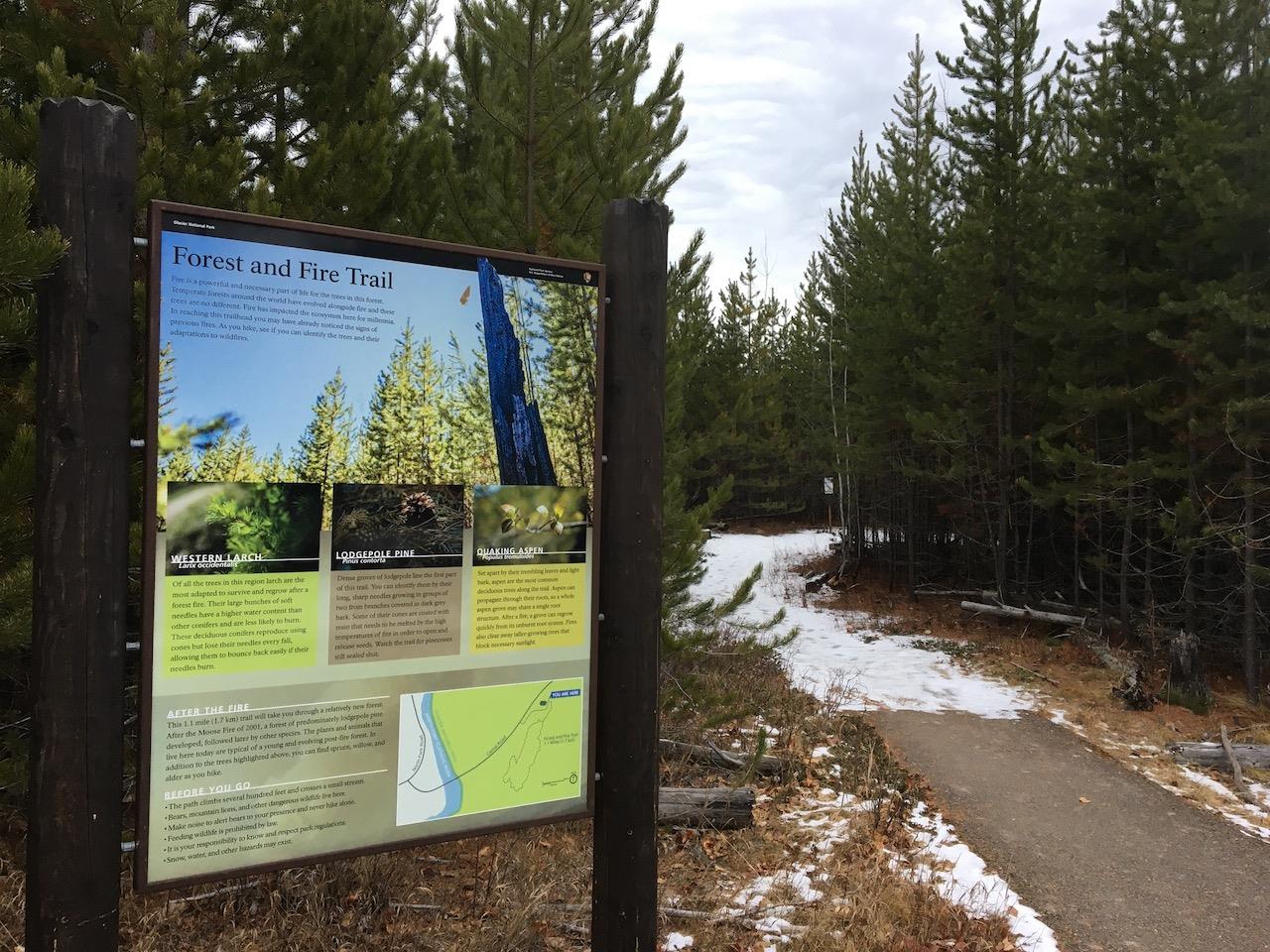
Huckleberry Nature Trail/Forest and Fire Trail

This is a one mile loop trail just inside the Camas entrance to Glacier National Park.  The trail has about 100 ft of elevation gain and loss and traverses a young lodgepole pine and aspen forest regenerating from the 2001 Moose Fire.