The Skiumah trail (# 204 on Forest Service maps) is a half day year-round hike departing from Highway 2 that ascends to a small lake in a cozy glacial cirque and is a great introduction to the Great Bear Wilderness. In the summer, one can avoid the crowds on a mostly shaded route. The trail can be hiked in the winter also given its year round access from a plowed highway. The trailhead is located eleven miles east of West Glacier (there is some disagreement about the distance in manuals and online) and is marked on the Highway. Parking is on the North Side of Highway 2 across the road from the trailhead. There is no toilet. The Forest Service rates it as a moderate trail 3.2 miles roundtrip with a 1030 elevation gain. Our pedometer read the roundtrip distance as four miles with a 1300 ft elevation gain. The ascent is steady but our elderly golden retrievers Riley and Stella were able to complete the climb with only a little coaxing.
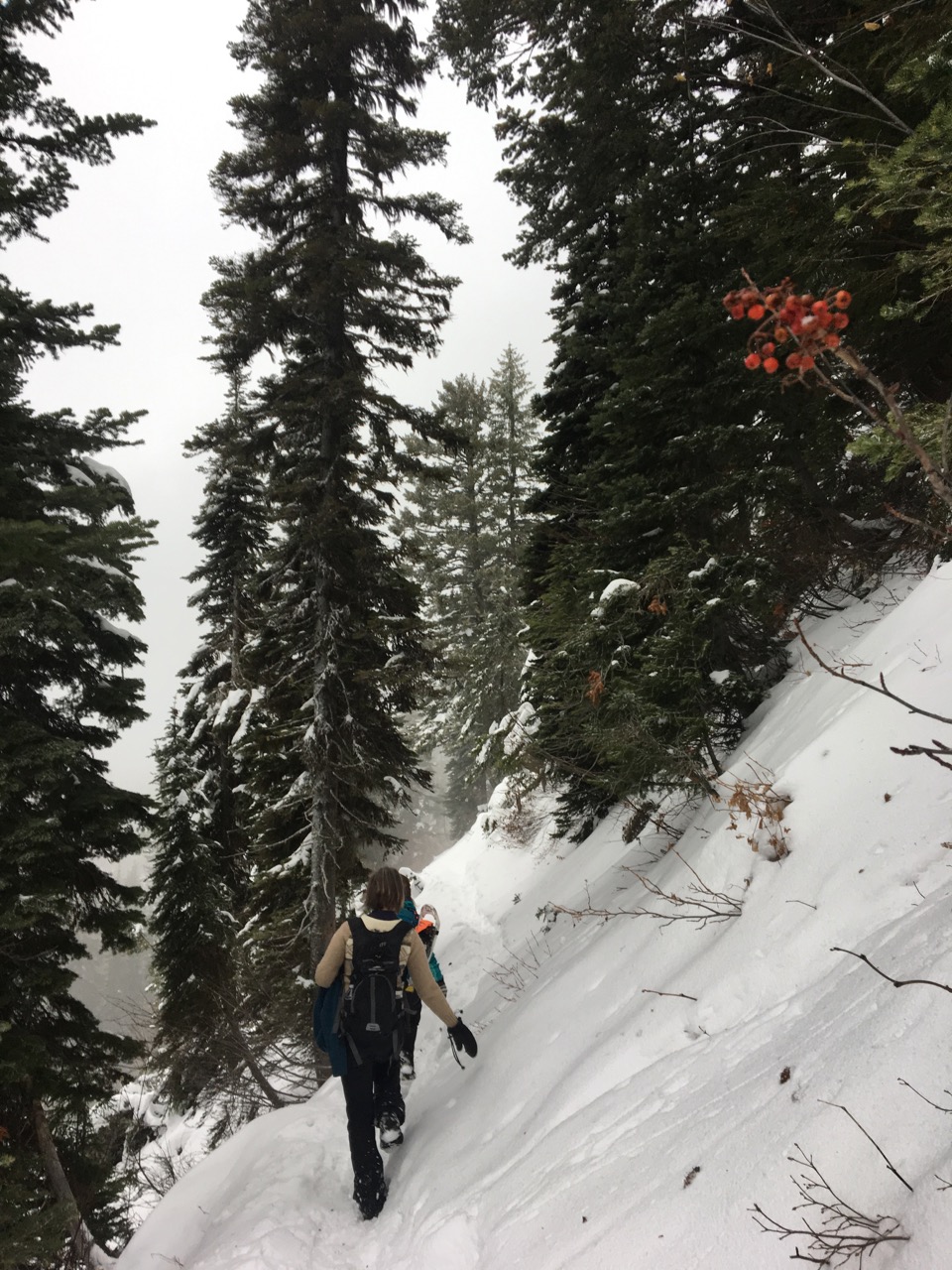
We hiked the trail on an early December day when the trail was covered in several inches of packed snow, calling for boot cleats. Later in the winter when more snow accumulates, it is a nice trail for snowshoes. Skiing is possible in winter also, but the trail is narrow and would give the climbing skins quite a workout, leaving it appropriate for hardcore backcountry skiers only.
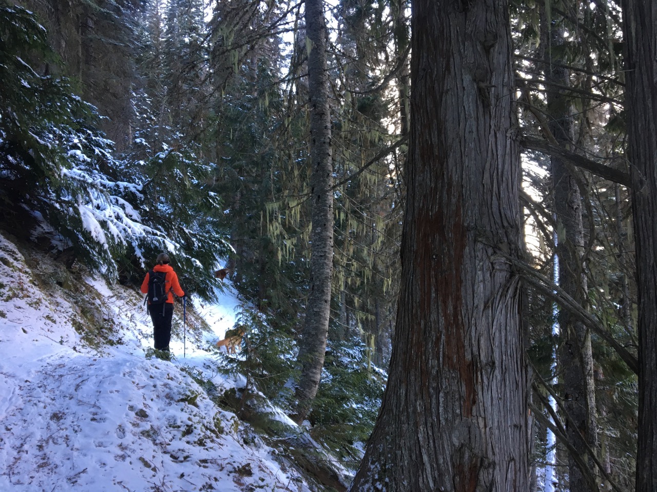
It was a crisp 8 F outside and a bit cloudy and hazy initially. After a quarter mile or so on an old Forest Service road, the trail takes a left (unmarked from the east, there is an old sign just to the west of the junction). Beginning up the north side of Mount Penrose (the trail is in the Penrose drainage, not the Penrose drain, more on that later) the trail quickly ascends to Skiumah Creek. The forest consists of Englemann Spruce, Douglass fir, larch and cedar, with some hemlock farther up the trail.
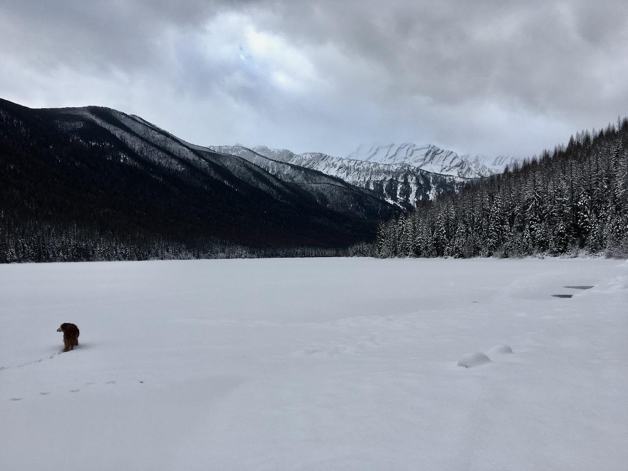
Before turning left, the Great Bear trail branches off to the next drainage to the west, but we were unable to see this other trail in the snow. After following above the creek a ways, the trail actually crosses it on a log bridge at mile 1.2, after 900 ft of elevation gain. A few hundred yards later a small sign marks the entrance to the Great Bear Wilderness. The trail evens out and crosses through a swampy area before ascending a glacial moraine just before the lake. According to a local elder the lake was quite low when we visited. Across the lake the back wall of the cirque is popular with backcountry skiers and ice climbers but is avalanche prone and has caught unlucky adventurers in the past.
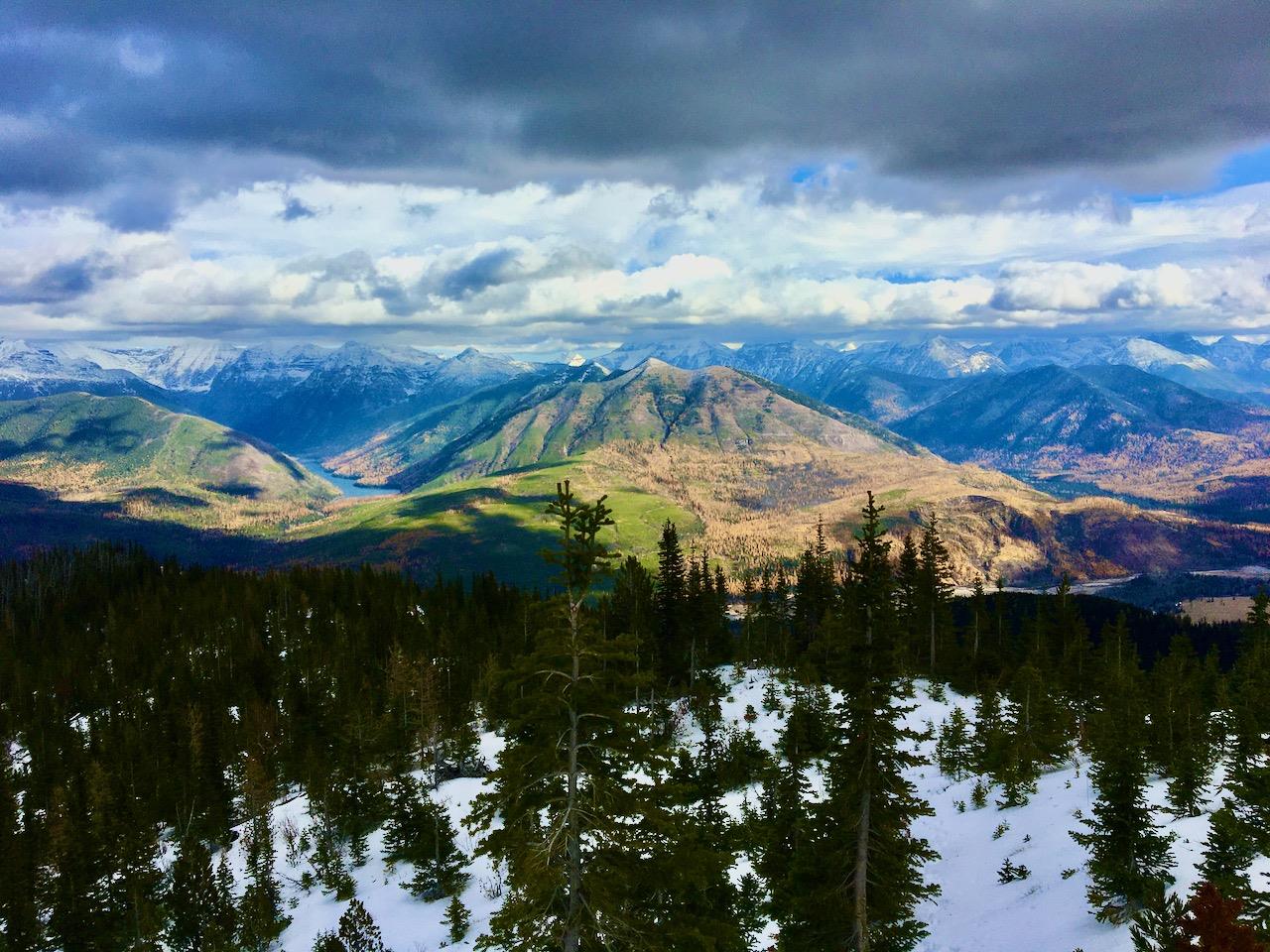
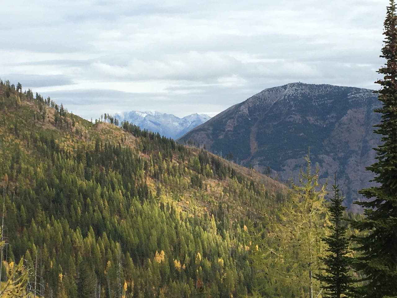
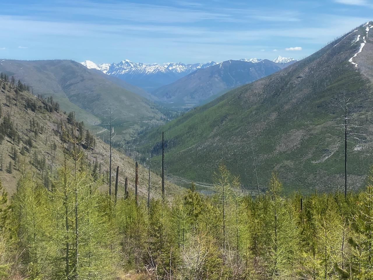
Below left: looking north into Glacier National Park on the initial climb
Below right: End of the trail at the Lake, Mt. Penrose on the left side
