406-381-8931

Epic Full Day Glacier Hikes

Image may be subject to copyright
surrounding area

Logan Pass to Many Glacier via Swiftcurrent Pass

Distance: 14.8 miles
Elevation gain: 1700 ft if hiking from Logan Pass to Swiftcurrent, 3400 ft if hiking from Swiftcurrent to Logan Pass

Opening: The trail usually opens in early July but can open later if the winter snowpack was excessive. Occasional closures due to bear activity

Trailhead: Highline trail at Logan Pass or Swiftcurrent Pass Trail at Swiftcurrent Motor Lodge

This is one of the top day hikes in the world, full of rugged peaks, alpine meadows, and wildlife. Since it is not a loop and there is no backtracking, a bit of logistical planning is needed. First, if hiking the trail in the typical direction, from Logan Pass to Swiftcurrent, you'll want to have a vehicle waiting at Swiftcurrent at the end of the hike. If you have two vehicles, drop one off at the Swiftcurrent parking lot then drive the other vehicle to the St Mary Visitor's Center and take the shuttle up to Logan Pass. If you have just one vehicle, park at Swiftcurrent and take the Xanterra Shuttle to the St Mary Visitor's Center and the park shuttle from St Marys to Logan Pass. There can be quite a line for the Xanterra Shuttle, so arrive early and board at Swiftcurrent (the origin of the shuttle) not Many Glacier Hotel (the bus is often full by time it leaves Swiftcurrent, making folks waiting at Many Glacier Hotel wait for the next shuttle).  Of course, if you just do this as an out and back from Logan Pass, shuttling is not a concern.

Starting at Swiftcurrent instead of Logan Pass is a more challenging option but still doable, as the trails are in great shape and the views on the way up to Swiftcurrent Pass make you forget about your shortness of breath. Just make sure you get to Logan Pass by time the last shuttle for the day leaves.

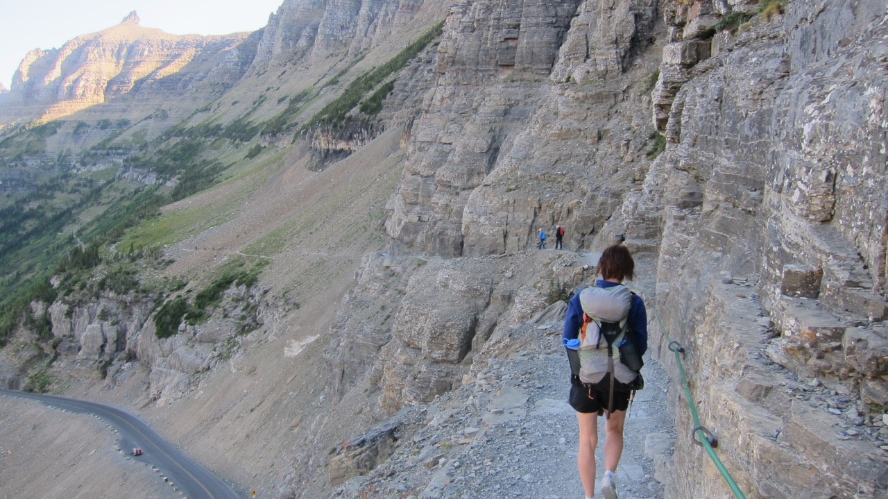
Starting at Logan Pass, cross the road to the Highline Trailhead. Look for mountain goats and bighorn sheep while starting out through a meadow dotted with subalpine fir. Soon the trail encounters a cliff blasted into the Garden Wall. A cable is attached for nervous hikers but the trail isn't really that narrow. The main risk is encountering a mountain goat, bighorn sheep or grizzly bear using the cliff trail also, necessitating some quick backtracking.
Image may be subject to copyright
surrounding area
The next three miles of trail to Haystack Butte are gently rolling, with alpine streams and frequent sightings of bighorn sheep. Due to climate change, the timberline has been gradually climbing upward over the past several decades, but most of the trail is still above the trees. Don't forget to stop and turn to look back towards Logan Pass from time to time, taking in views of Mount Oberlin and Oberlin Falls to the right of the pass. Marmots are frequent along the trail and we once saw a weasel catch a squirrel along a section of the trail passing through some trees. On the ascent to the saddle between Haystack Butte and Mt Gould in 2013 we encountered a grizzly bear (see "The Cordial Grizzly" on the article page and photo below left).  Below right:  Haystack Butte, view from the north

Image may be subject to copyright
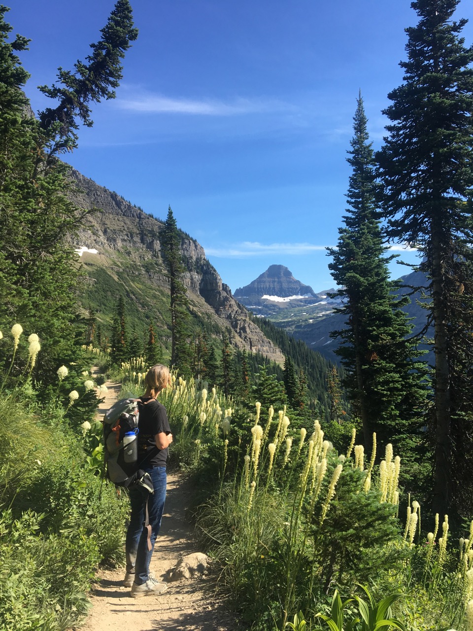
After Haystack Butte the trail continues to gradually ascend through alpine meadows full of beargrass and at about 7 miles, the trail arrives at Granite Park Chalet. Granite Park Chalet is one of the last remnants of the Great Northern's system of lodges in the park, each about a day's horse ride apart. For the past few decades, the Granite Park Chalet has operated as a hostel, with linen services and shared use of a community kitchen. A limited selection of snacks and bottled water is typically available for purchase by day visitors.

Just beyond Granite Park Chalet, the Swiftcurrent Pass trail branches off from the Highline Trail and quickly ascends to Swiftcurrent Pass.

Below right:  Granite Park Chalet with Heaven's Peak in the background
Below left:  Crossing Swiftcurrent Pass

Image may be subject to copyright
Just east of the pass, stunning views to the east open up through the Swiftcurrent Valley all the way to the Great Plains. In the photo below left, foreground to background, Chris views Bullhead Lake, Redrock Lake, Fishercap Lake, Swiftcurrent Lake, and Lake Sherburne.  

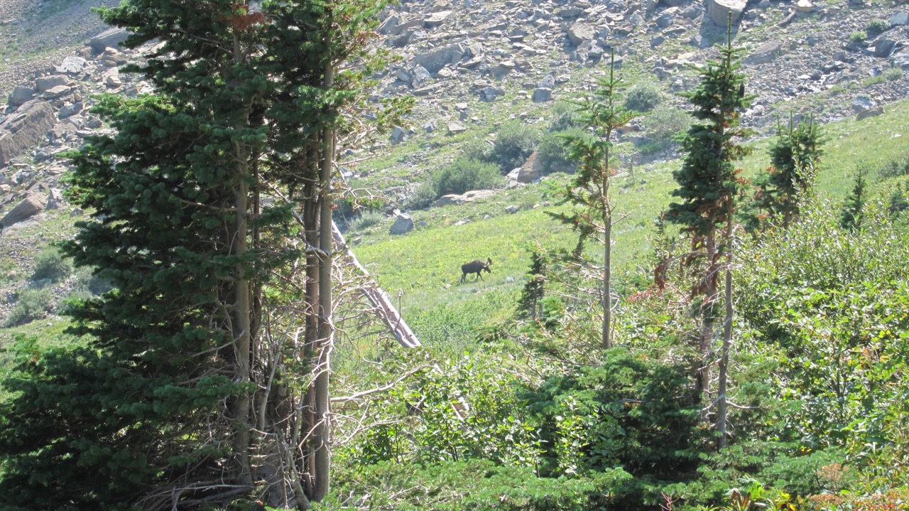
Descending into the valley, multiple high waterfalls draining Swiftcurrent glacier and snowfields punctuate the stone cliffs. Moose frequent the whole valley and the trail passes by lake after lake on the way back to Swiftcurrent (below right).

 Below:  Moose grazing in the valley east of Swiftcurrent Pass
surrounding area
surrounding area

Siyeh Bend to Sunrift Gorge

Distance: 10.3 miles, add 1.4 miles for side trip to Sexton Glacier, add 5.8 miles if Piegan Pass Trail used from Sunrift Gorge to Siyeh Pass Trail instead of shuttle

Elevation Gain: 2300 ft from Siyeh Bend to highest point above Siyeh Pass. Add 1200 ft if starting at Sunrift Gorge instead of Siyeh Bend

Opening: early July is typical; occasional closures due to bear activity

This hike starts high, but goes even higher, to the highest elevation of any trail in the park. Mostly above the timberline, the hike includes alpine meadows, panoramic views, a glacier close-up, beautiful red argillite rock formations, and a roaring stream with multiple waterfalls. I recommend dropping your car off at the parking area along the road at Sunrift Gorge, then taking the shuttle up Going-To-The-Sun Road to Siyeh Bend. Doing the hike in the opposite direction adds about 1200 ft to the elevation gain. Another option would be doing the hike as a full loop, taking the Piegan Pass Trail from Sunrift Gorge through the lowland forest west of St Mary Lake then up across Going-To-The-Sun Road to the Siyeh Pass trail (adds 5.8 miles).

Starting at Siyeh Bend, the Siyeh Pass Trail winds through an open forest, emerging above the timberline at Preston Park, a high alpine meadow. We saw a grizzly sow and her two cubs trotting away from us in this section of the trail a few years ago.

Below left: Siyeh Creek. Below right:  Preston Park ascending to Siyeh Pass

From Preston Park, the trail ascends in a straight line to the right side of Siyeh Pass, then ascends a few hundred feet more between snowfields to pass southeast into the Baring Basin. After descending a bit, a faint trail to the right branches off to Sexton Glacier. This side trail makes for an easy glacier visit and I recommend it highly. Fill your water bottle from real glacier water.

Below left:  Highest trail point in the park, just east of Siyeh Pass.  Below right:  Sexton Glacier, nestled in the cliffs below Matahpi Peak (right side) and Going-To-The-Sun Mountain (left side)

On your trip down to Sunrift Gorge, gaze at long waterfalls meandering through the green valley and stop for some huckleberries along the trail. As you descend further, the red argillite canyon and falls will cause you to snap many more photos.  Below left: Sexton Glacier. Below right:  falls in Sunrift Gorge flowing through red argillite boulders

surrounding area

Dawson Pass to Pitamakin Pass Loop

Distance: 17.2 miles; subtract 2 miles if using the launch across Two Medicine Lake

Elevation Gain: about 2600 ft

Opening: Late June to early July, occasional closures due to bear activity

Given its proximity to the rail station at East Glacier, Two Medicine was the main jumping off point to Glacier National Park in the days before the automobile. Now other parts of the park host the big crowds, making it easier to enjoy the beauty of the Two Medicine Area. The name originates from rival Blackfeet Medicine men, two of them camping along the lake. The Dawson-Pitamakin loop is the best long high country loop in the park, but it does make for a long day of hiking. Taking the launch across Two Medicine Lake would cut a few miles off the trip. I'll describe the loop clockwise but there is no problem in hiking in the opposite direction.
Up above the timberline, water may be scarce, make sure you bring enough before ascending to the high country.

The trailhead starts along the north side of the Two Medicine Campground, crossing a bridge across the drainage from Two Medicine Lake. Keep an eye out for moose in the willows. The trail then follows along the north shore of Two Medicine Lake through stands of limber and whitebark pine later giving way to Douglas fir and Engelmann spruce. Around the head of the lake, a trail branches off to the left to the boat dock, Twin Falls, and Upper Two Medicine Lake. Farther up the trail, the Pumpelly Pillar comes into view and a short side trail leads to No Name Lake.

Below left:  Pumpelly Pillar on the ascent to Dawson Pass.  Below right:  Dawson Pass looking west

Image may be subject to copyright
The trail gradually leaves the open forest and ascends to the narrow ridge at Dawson Pass, which is also the Continental Divide. One views the infrequently visited Nyack Valley to the west along with remnants of one of the large 2003 burns. From Dawson Pass the trail turns north along the west side of the Continental Divide ridge, first below Flinsch Peak then Mount Morgan on the way to Cut Bank Pass. The first time I hiked this section in 1983, the trail was barely discernible among the scree and a brisk wind threatened to blow my friend Kevin and I right down the rocky slope. The trail seems a lot wider now and allows one to actually take in the scenery while hiking it.

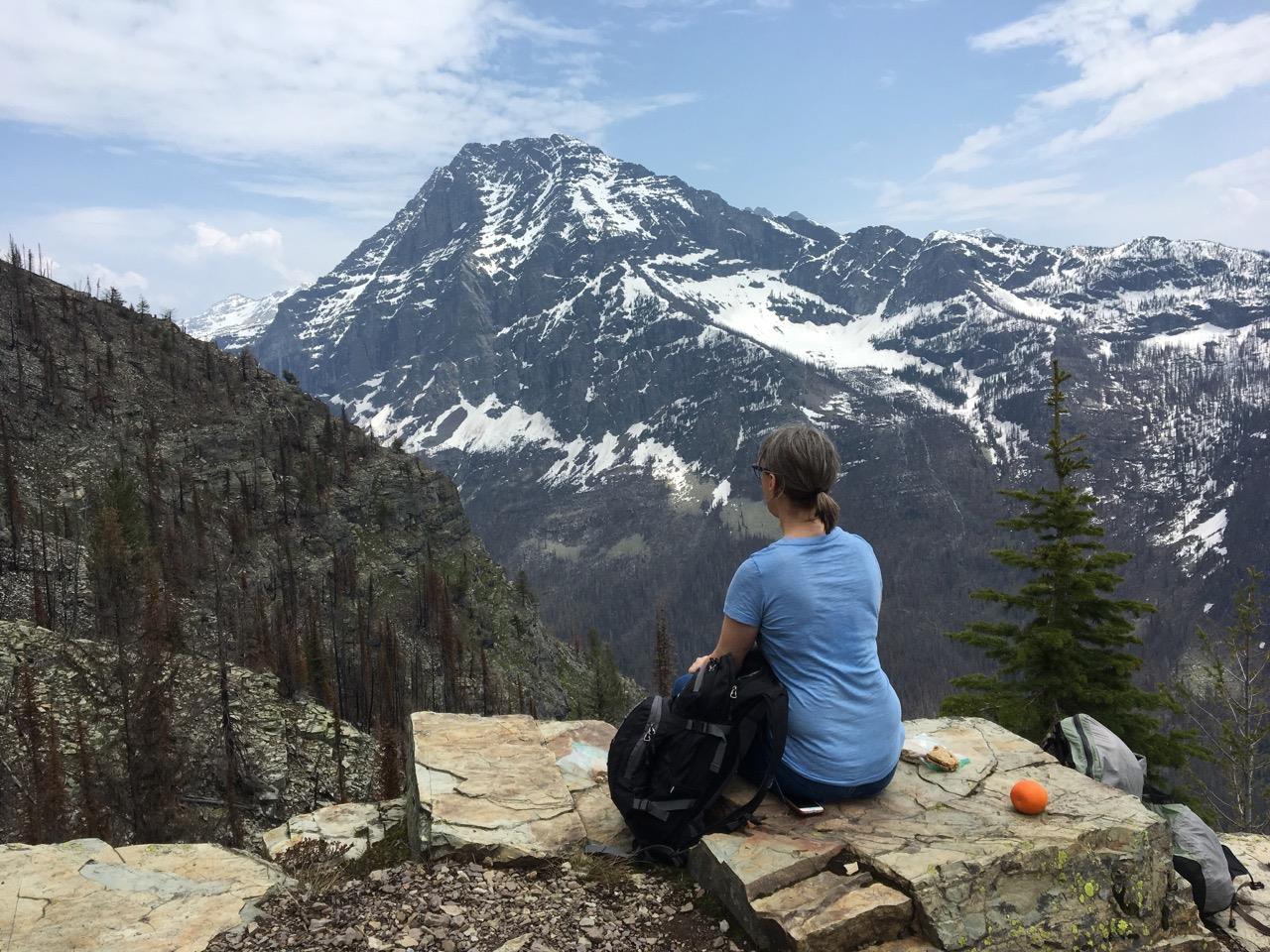
Below left:  Rock ledges just off the trail below Mount Morgan make a nice lunch stop.  Below right:  Looking down on Lake of the Seven Winds (left) and Pitamakin Lake (right) from near Pitamakin Pass

After passing Oldman Lake, the trail gradually descends through the Dry Fork Valley with the large shadow of Rising Wolf Mountain to the south. Mid and late summer displays of wildflowers are typically impressive along this section of the trail. Finally, the trail winds around the east side of Rising Wolf Mountain and ends back at the foot of Two Medicine Lake.
Below:  View of Oldman Lake on the descent from Pitamakan Pass

surrounding area
surrounding area

Iceberg Lake

Distance:  9 miles round trip
Elevation gain:  1200 ft
Opening:  Early July; frequent closures due to grizzly activity
Trailhead:  Behind the cabins at Swiftcurrent Inn, follow the signs in the parking lot
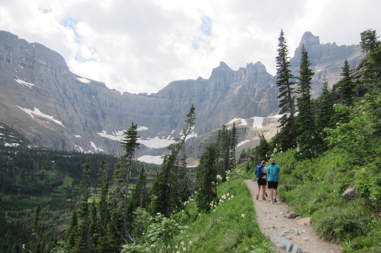
A popular Many Glacier hike, Iceberg Lake offers magnificent valley and mountain views, wildflowers, frequent grizzly sightings, and a picturesque lake tucked into a high glacial cirque.  Starting from the Swiftcurrent Inn, the trail quickly ascends an open south-facing slope filled with beargrass, fireweed, red monkey flowers and parnassias.  Eventually the trail levels out and continues to head northwest, high above Wilbur Creek, with Mt. Wilbur dominating the views to the left across the valley and Altyn Peak then Mt. Henkel on the right above the trail.  Look for grizzlies in the meadows above and below the trial.

 At 4.1 miles, the trail crosses over Ptarmigan Creek at Ptarmigan Falls and splits off from the trail leading to Ptarmigan Lake and the Ptarmigan Tunnel.  The glacial cirque containing the lake is quite tight, holding only the lake and surrounding snowfields, then rising 3000 ft to the continental divide.  An active glacier was present at the head of the lake up until a hundred years ago and large blocks of ice would break off from the glacier and float around in the lake in summer, thus giving Iceberg Lake its name.

Below left:  The glacial cirque containing Iceberg Lake comes into view
Below right:  Meadows full of wildflowers on the approach above Swiftcurrent
s

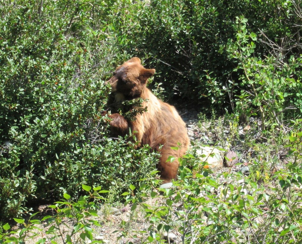
Right:  A berry hungry bear not far from Swiftcurrent
surrounding area
Below left:  Snow often lingers on the final approach to the lake, even in mid July
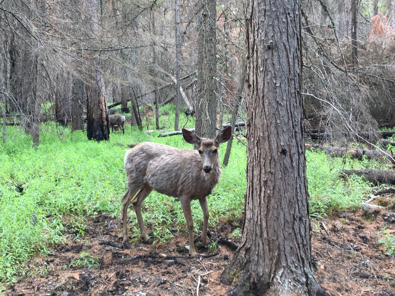
Below right:  A deer hanging around the lake, safe from predators
On a trip to the lake in 2012 I brought a swim suit and had my family make a video of me swimming in the icy lake.  Once was enough and I haven't had the urge to repeat the act.

Getting back to the trail junction at Ptarmigan Falls, one may lengthen the hike by heading up the Ptarmigan trail, 1.6 miles to Ptarmigan Lake and 2.6 miles from the trail junction to the Ptarmigan Tunnel.  Views a few hundred yards on the other side of the tunnel of Mt Merritt and Helen Lake are impressive.

MT BROWN LOOKOUT

Distance:  10.2 miles round trip
Elevation gain:  4500 ft
Opens:  Can be hiked year round, but heavy snow cover makes for a  very difficult hike in the winter
Trailhead:  Sperry Chalet Trailhead at Lake McDonald Lodge
Image may be subject to copyright
surrounding area
The 5.1 mile climb to the historic Mt. Brown Fire Lookout is one of the toughest in the park, relentlessly uphill to the top.  The trail is hiked year round, but heavy snow in the winter necessitates the use of snowshoes (or skis for an expert skier).  The Sprague Creek Fire of 2017 burned much of the south side of Mt. Brown and has changed the hike dramatically.  In the past, heavy tree cover afforded shade almost all the way up, but now the upper mountain has been laid bare by the fire, making for better views but a hotter, sun-drenched hike.
surrounding area

.

Initially the trail starts in the dense Cedar-Hemlock old growth forest near Lake McDonald.  Early on, the trail is shared with lots of horses and hikers, nearly all of them headed up broad switchbacks to Sperry Chalet.  At 1.4 miles  the Mt. Brown Lookout trail splits off to the left and switchbacks all the way to the top.  The steepest section of trail is the first mile after the split.  Initially, signs of the Sprague Creek Fire are limited to some charred undergrowth, but as the trail climbs, damage from the fire increases, showing that the fire burned a lot hotter near the top.

.

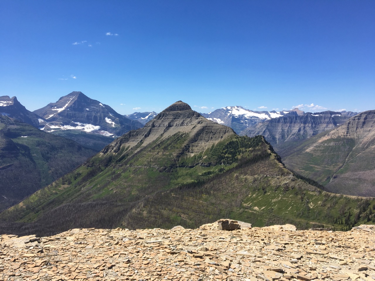
In addition to lots of sun exposure, after the initial snowmelt, there are no streams to purify water from, so bring plenty of water.  As the switchbacks swing from East to West, views become more impressive in both directions.  Near the top, the fire has created a barren moonscape, but the mountain goats seem to have taken the changes in stride.  When we hiked the trail in late May, there was still 6-8 ft of snow at the top.  The snow was packed down and we could stay on top without sinking in much, and the trail avoids cliffs that could make the snow much more dangerous.
surrounding area
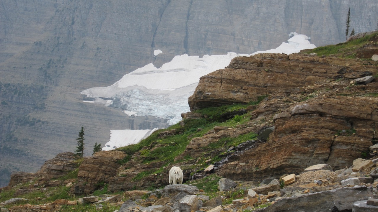
Below left:  Mountain goats near the top of the lookout gazing northwest at (left to right), Stanton Mountain, Mount Vaught, McPartland Mountain, and Heaven's Peak

Below right:  Looking northeast from the top, with (left to right) the Little Matterhorn, Floral Park and Edwards Mountain
.